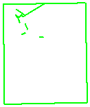
"Themes" define features using one or more feature "types".
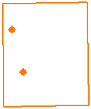
are defined by POINT features.
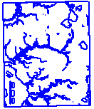
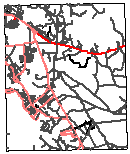
by both LINE features (for streams),
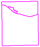
and AREA features (for lakes and ponds).
Each individual feature is uniquely numbered, and this number
identifies a row in a table where the feature's attributes are stored.
| ID-# | ID-TYPE | LENGTH | MATERIAL |
| 1 | landing strip | 1500 feet long | ashpalt |
| 2 | runway | 1200 feet long | gravel |
| 3 | phone line | 30000 feet long | fiber optic |
| . . . |
. . . |
. . . |
. . . |
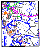
The "themes" are then layered on top of each other ...
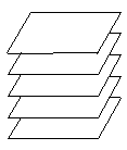
visually appear as one graphic, but are
actually still independent of each other.
This allows changes to specific themes, without
affecting the others.