Cherokee County -- North Carolina

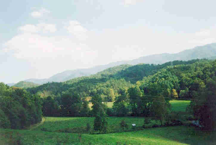
mountain views


   Menu

Accommodations
Activities
Area Churches
Area Real Estate
    Companies

Area Restaurants
Area Schools
Business Advice
   and Mentoring

Changing Seasons
   in Our County

Cherokee Indian
    Reservation

Cherokee County
    History

Email County
    Webmaster

Fall Leaf Forecasts
Cherohala Skyway
Genealogy Links
Historical Sites
Medical/Emergency
    Services

Miscellaneous
    Information

MAIN Network
Western North Carolina Web Cams
North Carolina
    History

Pet Friendly
    Accomodations

Photo Gallery
Sign Our
    Guest book

Specialty Shopping
State Symbols
Standing Calendar
Useful Links


Located in the southwestern corner of North Carolina in the Blue Ridge chain of the Great Smoky Mountains, Cherokee County was formed in 1839 from Macon County. It is in the western section of the State and is bounded by the states of Georgia and Tennessee and the North Carolina Counties: Graham, Swain, Macon and Clay. The courts were ordered to be held at one of the houses at Fort Butler until a courthouse could be erected. Fort Butler was in the town of Murphy. Murphy is the county seat.

The county encompasses an area of about 455 square miles. It is about 32 miles from east to west and about 20 miles from north to south. There are two towns which embody the spirit and charm of small town America. They are Murphy, the county seat, and Andrews. There are also many small communities with colorful and unique names.  At the time of the 2000 census, the population of the county was 24,298, with Murphy having 1,568 and Andrews having 1602.  However, the area is growing rapidly.

The county contains 300,100 acres, with 92,363 acres of United States Forest Service Land, 8,700 acres of lakes, and 6,000 acres of Indian land, with the remaining area being farmlands.  The county is surrounded by the Nantahala National Forest.  The highest elevation in the county is about 5,100 feet, on the corner where Cherokee and Clay counties meet at Fires Creek.  The lowest elevation is about 1,200 feet, where Apalachia Lake crosses into Tennessee.

The many lakes and breathtaking mountain views create many scenic backdrops. There are hiking trails, fishing streams, and camping areas, where the air is crisp and clean.  There are nearby white water adventures, golfing, boating, horseback riding and many other activities available in the area.  Cherokee County has theaters, craft shows, antique shops, festivals and fairs.  The crime rate is low and one can find serenity in this beautiful mountain area.


History of Cherokee County

State Symbols Of North Carolina & Their Origins

Highlights Of North Carolina History


Sources for the descriptive and historical information:

Cherokee County Chamber of Commerce

North Carolina State Library

United States Census

North Carolina Dept. of Commerce


mainlogo Mountain Area Information Network
All County sites are created and maintained by volunteer webmasters.


The Cherokee County Webmaster is RoseAnne Shaw
Please do not take and use this material without permission from me.
Please enjoy your visit through these pages and come back often.
After viewing these pages please sign the guest book.


If you have any information that you would like to see here
Please contact me by email or post a message in the guest book

These pages © Copyright 2004-2010, RoseAnne Shaw

Site Last Updated Sept. 2010


Click for Murphy, North Carolina Forecast


You are visitor number


Free Guestbook from Bravenet Free Guestbook from Bravenet


Free Public Records And Background Search
Search Billions of public records through tens of thousands of government and public record links.


Back to Top