Degraded Mountain Wetlands of Haywood and Buncombe Counties:
Identification and Restoration Potential
Spatial Data and GIS in Western
North Carolina |
|
 Riverlink has received a grant from the Pigeon River River Fund to identify degraded mountain wetlands in Haywood and Buncombe County, NC. Riverlink will be working with Resource Data Inc. to prioritize sites with regard to their restoration potential.
Mountain Wetland Protection |
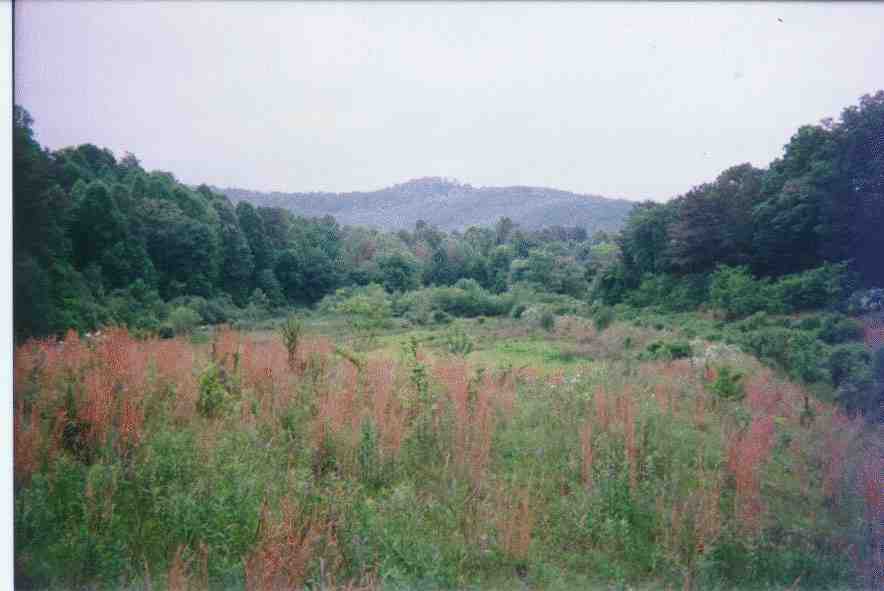
Mountain wetlands have been subject to draining, impoundment, and clearing. Few examples exist in general and even fewer are in pristine condition. Mountain wetlands are unique ecological communities that provide habitat for many rare and endangered species including the bog turtle and various species of pitcher plants. Identifying mountain wetlands is the first step in protecting and restoring the ecological and environmental value of these areas.

 |
| Aerial Photography with Hydric Soil Areas and Streams |
Wetlands provide significant value to our society. "As ecological systems, wetlands perform an array of ecological or environmental functions that contribute to the health and diversity of the natural environment, as well as to the quality of other environmental resources. Wetlands provide habitat for a great variety of birds, mammals, fish, shellfish and crustacea, reptiles, amphibians, insects and plants. Wetlands perform hydrologic functions: they influence the amount, distribution and flow of water in the landscape through their storage, release and flood control capabilities. They influence water quality by removing silt, certain nutrients (especially phosphorous and nitrogen) and contaminants (such as metals, pesticides and herbicides) from the water that flows through them. In addition, wetlands can protect shorelines against erosion."
(Source: State of the Environment in the Atlantic Region,
http://www.ns.doe.ca/soe/toc.html)
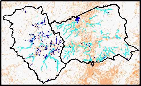 |
Low Slope and Hydric Soil Areas in
Buncombe and Haywood Counties |
In order to comprehensively study Buncombe and Haywood counties for wetland potential a GIS was utilized. Data layers were assembled from various sources and include:
-
Soils
-
National Wetlands Inventory
-
Natural Heritage Data
-
Topography
-
Hydrology
-
Digital Orthophotography (Aerial photography)
A methodology for identification of mountain wetlands is being developed. A selection of potentially hydric sites will be chosen for field visits. Field data will include a qualitative overview of the site describing the landscape setting, ecological value and function of restoration (e.g. water quality benefits) and potential problems in restoration. Field information will be used to refine the potential-restoration rankings model.
Cooperating and Supporting Organizations |
- NC Natural Heritage Program
-
NC Wetlands Restoration Program
-
The Nature Conservancy
-
Southern Appalachian Highlands Conservancy
-
Haywood Waterways Association
-
Applied Ecological Services Inc.
-
Southern Appalachian Forest Coalition
-
US Forest Service
-
Natural Resources Conservation Service
This project will serve as a demonstration project for other North Carolina counties. As high quality digital information becomes increasingly available, GIS modelling provides a valuable tool to comprehensively examine an assortment of conservation and land use planning issues at multiple scales.